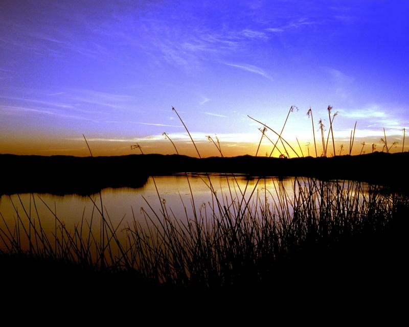
The San Joaquin River, which helps
drain California’s Central Valley, has been negatively impacted
by construction of dams, inadequate streamflows and poor water
quality. Efforts are now underway to restore the river and
continue providing agricultural lands with vital irrigation,
among other water demands.
After an 18-year lawsuit to restore water flows to a 60-mile dry
stretch of river and to boost the dwindling salmon populations,
the San Joaquin River Restoration Settlement is underway.
Water releases are now used to restore the San Joaquin River and
to provide habitat for naturally-reproducing populations of
self-sustaining Chinook salmon and other fish in the San Joaquin
River. Long-term efforts also include measures to reduce or avoid
adverse water supply impacts from the restoration flows.
The whims of political fate decided
in 2018 that state bond money would not be forthcoming to help
repair the subsidence-damaged parts of Friant-Kern Canal, the
152-mile conduit that conveys water from the San Joaquin River to
farms that fuel a multibillion-dollar agricultural economy along
the east side of the fertile San Joaquin Valley.
The Sacramento and San Joaquin
rivers are the two major Central Valley waterways that feed the
Delta, the hub of California’s water supply
network. Our last water tours of
2018 will look in-depth at how these rivers are managed and
used for agriculture, cities and the environment. You’ll see
infrastructure, learn about efforts to restore salmon runs and
talk to people with expertise on these rivers.
New water storage is the holy grail
primarily for agricultural interests in California, and in 2014
the door to achieving long-held ambitions opened with the passage
of Proposition
1, which included $2.7 billion for the public benefits
portion of new reservoirs and groundwater storage projects. The
statute stipulated that the money is specifically for the
benefits that a new storage project would offer to the ecosystem,
water quality, flood control, emergency response and recreation.
For more than 100 years, invasive
species have made the Sacramento-San Joaquin Delta their home,
disrupting the ecosystem and costing millions of dollars annually
in remediation.
The latest invader is the nutria, a large rodent native to South
America that causes concern because of its propensity to devour
every bit of vegetation in sight and destabilize levees by
burrowing into them. Wildlife officials are trapping the animal
and trying to learn the extent of its infestation.
Along the banks of the
Sacramento-San Joaquin Delta in Oakley, about 50 miles southwest
of Sacramento, is a park that harkens back to the days when the
Delta lured Native Americans, Spanish explorers, French fur
trappers, and later farmers to its abundant wildlife and rich
soil.
That historical Delta was an enormous marsh linked to the two
freshwater rivers entering from the north and south, and tidal
flows coming from the San Francisco Bay. After the Gold Rush,
settlers began building levees and farms, changing the landscape
and altering the habitat.
Does California need to revamp the way in which water is dedicated to the environment to better protect fish and the ecosystem at large? In the hypersensitive world of California water, where differences over who gets what can result in epic legislative and legal battles, the idea sparks a combination of fear, uncertainty and promise.
Saying that the way California manages water for the environment “isn’t working for anyone,” the Public Policy Institute of California (PPIC) shook things up late last year by proposing a redesigned regulatory system featuring what they described as water ecosystem plans and water budgets with allocations set aside for the environment.
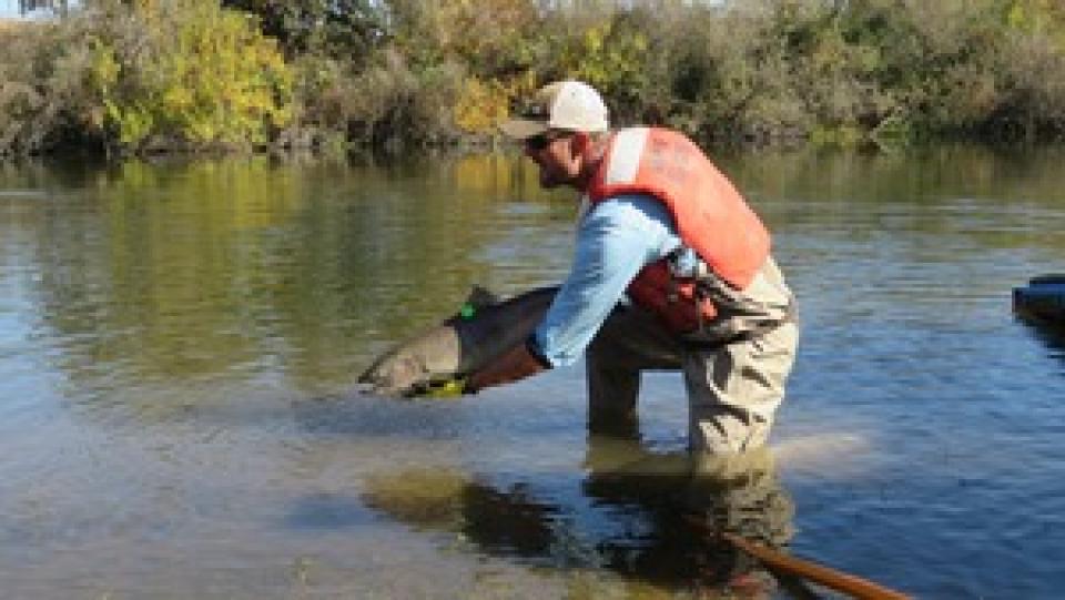
Participants of this tour snaked along the San Joaquin River to
learn firsthand about one of the nation’s largest and most
expensive river restoration projects.
The San Joaquin River was the focus of one of the most
contentious legal battles in California water history,
ending in a 2006 settlement between the federal government,
Friant Water Users Authority and a coalition of environmental
groups.
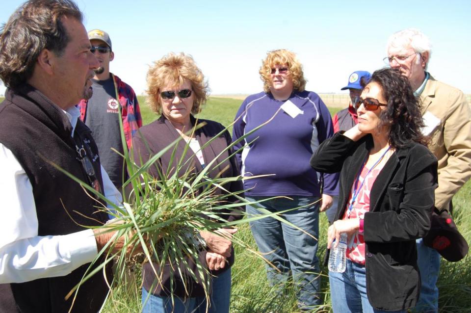
The 2-day, 1-night tour traveled along the river from Friant
Dam near Fresno to the confluence of the Merced River. As it
weaved across an historic farming region, participants learn
about the status of the river’s restoration and how the
challenges of the plan are being worked out.
A few tickets are still available for our Nov. 1-2 San Joaquin River
Restoration Tour, a once-a-year educational opportunity to
see the program’s progress first-hand. The tour begins and ends
in Fresno with an overnight stay in Los Banos.
Explore more than 100 miles of Central California’s longest river
while learning about one of the nation’s largest and costliest
river restorations. Our San Joaquin River
Restoration Tour on Nov. 1-2 will feature speakers from key
governmental agencies and stakeholder groups who will explain the
restoration program’s goals and progress.
The Sacramento and San Joaquin are the two major rivers in the
Central Valley that feed the Delta, the hub of
California’s water supply network.
Our last two water tours of 2017 will take in-depth looks at how
these rivers are managed and used for agriculture, cities and the
environment. You’ll see infrastructure, learn about efforts to
restore salmon runs and talk to people with expertise on these
rivers.
Headwaters are the source of a
stream or river. They are located at the furthest point from
where the water body empties or merges with
another. Two-thirds of California’s surface water supply
originates in these mountainous and typically forested regions.
This 3-day, 2-night tour, which we do every spring,
travels the length of the San Joaquin Valley, giving participants
a clear understanding of the State Water Project and Central
Valley Project.
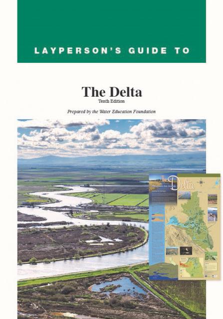
The 24-page Layperson’s Guide to the Delta explores the competing
uses and demands on California’s Sacramento-San Joaquin Delta.
Included in the guide are sections on the history of the Delta,
its role in the state’s water system, and its many complex issues
with sections on water quality, levees, salinity and agricultural
drainage, fish and wildlife, and water distribution.
A watershed is the land area that drains snowmelt and rain into a
network of lakes, streams, rivers and other waterways. It
typically is identified by the largest draining watercourse
within the system. In California, for example, the Sacramento River Basin is the
state’s largest watershed.
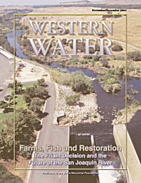
This issue of Western Water explores the implications for the San
Joaquin River following the decision in the Natural Resources
Defense Council lawsuit against the Bureau of Reclamation and
Friant Water Users Authority that Friant Dam is required to
comply with a state law that requires enough water be released to
sustain downstream fish populations.
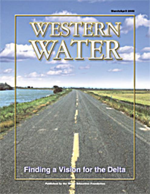
This printed copy of Western Water examines the Delta through the
many ongoing activities focusing on it, most notably the Delta
Vision process. Many hours of testimony, research, legal
proceedings, public hearings and discussion have occurred and
will continue as the state seeks the ultimate solution to the
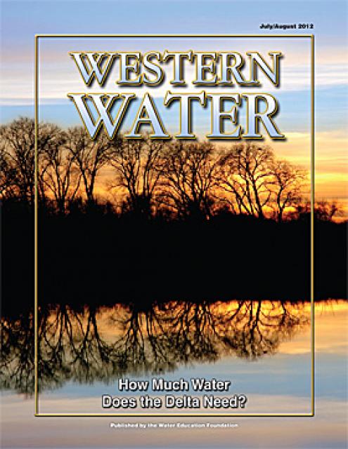
problems tied to the Delta.
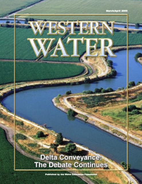
This printed issue of Western Water provides an overview of the
idea of a dual conveyance facility, including questions
surrounding its cost, operation and governance
This printed issue of Western Water examines the issues
associated with the State Water Board’s proposed revision of the
water quality Bay-Delta Plan, most notably the question of
whether additional flows are needed for the system, and how they
might be provided.
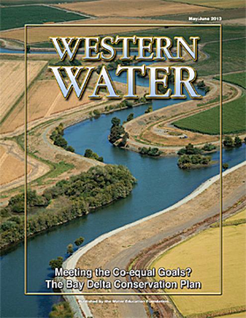
This issue of Western Water looks at the BDCP and the
Coalition to Support Delta Projects, issues that are aimed at
improving the health and safety of the Delta while solidifying
California’s long-term water supply reliability.


")
")
")
")