Since World War II and a booming state population that
increasingly sought out the great outdoors to relax, the state’s
water-based recreational activities have continued to grow more
popular and diverse, occurring in a multitude of sources –
from swimming pools and spas to beaches, reservoirs, natural
lakes and rivers.
Public water supply projects, such as the State Water Project,
have helped to provide additional recreational opportunities for
Californians. In some cases, reservoir releases can contribute to
downstream recreation benefits by improving fisheries or by
creating whitewater rafting opportunities that would not be
possible in the absence of reservoir regulation. However, there
are conflicting values and needs for the same river system.
Those who enjoy fishing and who seek trout and salmon in
particular were reminded Wednesday by California Department of
Fish & Wildlife officials that they should keep their dogs away
from the uncooked fish. A parasitic flatworm called Nanophyetes
salmincola can be transmitted to canines that eat the two types
of fish before they’re cooked, creating a bacteria-like
organism in their body and a condition called salmon poisoning
disease, officials said in a news release. The parasite is seen
only in dogs; the disease is potentially fatal but is
treatable, experts say. Signs of the disease in a dog include a
rise in body temperature, a loss of appetite, listlessness,
diarrhea and vomiting. Rapid weight loss may also occur.
Make a Splash with a Big Day of Giving Gift!
Big Day of Giving is just around the corner! Your donation
helps support scholarships for our tours, events & workshops,
expand Project
WET teacher trainings throughout California,
provide free public access to our Western Water and
Aquafornia news
coverage, updates to our Layperson’s Guides
and more!
Donatetoday or anytime
through May 2 to help us reach our fundraising
goal of $15,000! As part of the Big Day of Giving
campaign, we are hosting our annual open house and
reception May 2. Join us at our office near the
Sacramento River to meet our team and learn more about our
work.
More people will be cooling off in the waterways as the
temperatures warm up. However, safety officials have a warning.
Officials are calling on people to wear a life jacket on the
river, use heavy duty rafts or raft rentals, be careful of
hidden objects in the river and avoid getting hypothermia as
the river runs colder. “We are fully prepared and fully
staffed for whatever happens,” said Battalion Chief Parker
Wilbourn, with the Sacramento Metropolitan Fire
District. Mostly small crowds enjoyed the American River
this weekend. However as the weather warms up, Wilbourn knows
the crowds will only get bigger, and it’s important to listen
to your body.
After a decade in the works, California is getting a new state
park this summer. Dos Rios Ranch, a 1,600-acre plot west of
Modesto where the San Joaquin and Tuolumne rivers converge, has
long been slated to become the next state park. On Monday, the
Department of Parks and Recreation announced it would open June
12. … Department of Parks and Recreation Director
Armando Quintero has characterized Dos Rios as a needed
public investment in a “a park-poor region.” The site for
Dos Rios was donated by the Chico conservation group River
Partners, which spent $40 million restoring the
area from its previous incarnation as a dairy farm to its
more natural state as a floodplain, a transition that state
leaders have touted as climate-resilient. In Monday’s
announcement, Gov. Gavin Newsom called the Dos Rios restoration
“a key asset to fighting the climate crisis.”
California WaterBlog is a long-running outreach project from
the UC Davis Center for Watershed Sciences, a research center
dedicated to interdisciplinary study of water challenges,
particularly in California. We focus on environmentally and
economically sustainable solutions for managing rivers, lakes,
groundwater, and estuaries. This week, for UC Davis Give Day
(April 19-20) we’re sharing a little about the Center and the
work we do. I’m Karrigan Bork, the Center’s Interim Director,
helping out while Director Andrew Rypel is on sabbatical, and
I’ll be your guide for this brief tour through the “Shed”. If
you would like to donate to help the Center continue important
work, I’ve shared our giving link below.
Each morning is similar, but different. As we approach the pond
on the wooden catwalk, you can hear the birds calling,
eventually you start to smell the freshness of the ecosystem,
the glitters and splashing ahead gives some indication of bird
activity on the water. Sometimes an alligator lizard scoots
past along the floorwork – occasionally even two. Steam rises
from my coffee cup, to varying degrees, depending on how
quickly we got out the door. And then there are my three kids,
also ever changing. Each day, one to three are in-tow, usually
chatting it up about geology, Egypt, space, or the day’s most
pressing sports news. And so it goes on most mornings, ideally
when the mist is still fresh or the winter fog lingering, the
Rypel family ventures to the “the duck pond” aka Julie
Partansky Pond in north Davis.
Near the western tip of the Mojave Desert and a few miles west
of NASA’s Armstrong Flight Research Center, fields of
wildflowers painted the landscape yellow in spring 2024. On
April 9, the OLI (Operational Land Imager) on the Landsat 8
satellite acquired this image of fields of yellow wildflowers
blanketing Antelope Valley amid solar and wind farms. The day
after the image was acquired, the Antelope Valley California
Poppy Reserve reported that wildflowers were “popping,” but the
region’s famous poppies were not. Rangers at the reserve said
they also saw very few small poppy plants maturing, suggesting
an impressive poppy bloom is unlikely in the coming weeks.
Four years ago, over 97% of Big Basin Redwoods State Park in
Santa Cruz County burned during the state’s worst wildfire
season in recorded history. Last year, unprecedented winter
storms caused an estimated $190 million in damages to coastal
parks. And at Seacliff State Beach, also in Santa Cruz County,
storms flooded the campground and destroyed the beach’s
historic pier. Climate change and the resulting severe
wildfires, extreme storms and rising sea levels are
increasingly threatening our beloved state parks. … To
address this unprecedented threat, we need to create
climate-resilient state parks that can prepare for, adapt to
and recover from climate impacts. -Written by Rachel Norton, the executive director
of the California State Parks Foundation.
Acronyms are so prevalent in the water industry that stringing
several together can form an impressive-sounding
sentence. That’s exactly what Hanford High School junior
Morgan Carroll did at an April 5 workshop in Sacramento called
Water 101 put on by the Water Education
Foundation. After winning a game of bingo no
less. The bingo game kept the audience of water managers and
government and nonprofit employees on its toes during a talk on
what could be a very dry topic, especially after lunch: The
role of regulatory agencies in state and federal water law.
… Part of being on the team is keeping tabs on current
events in the water industry. Students subscribed
to Aquafornia, the foundation’s daily
news summary, and found out about the workshop that way.
After 12 years of planning, gathering funding then completing
and re-doing – and re-doing again – environmental studies, the
City of Bakersfield has finally gone out to bid for the
northern extension of the Kern River Parkway Trail. “I’m very
excited, it’s been a long time coming,” Councilman Bob Smith
said of the 6-mile long addition to the nearly 40-mile-long
path that runs the length of the Kern River from Gordon’s Ferry
on the east all the way to the Buena Vista Lake Aquatic
Recreation Area on the west. This extension will take runners,
hikers and cyclists north at Coffee Road along the Friant-Kern
Canal up to 7th Standard Road, about a half mile west of the
Gossamer Grove development.
For most Northern Nevadans and Californians, Lake Tahoe is more
than a distinctive spot on the map. Whether you only go a few
times a year or every single weekend, it always feels like your
refuge. You never take it for granted. Neither do the
scientists, planners, biologists, volunteers, lawmakers and
engineers who work to protect the lake from environmental
threats. In fact, the call to protect Lake Tahoe has echoed
across America in support of one of the most comprehensive and
successful conservation programs in the nation. Since public
and private partners established the Lake Tahoe Environmental
Improvement Program in 1997, we have completed more than 800
major restoration projects to protect one of our country’s most
treasured landscapes. -Written by Julie Regan, executive director of the
Tahoe Regional Planning Agency.
It’s rather amazing to ponder: As of this year, the Lower
American River Task Force (LARTF) has been meeting regularly
for the past 30 years. The task force is a unique collaborative
venue created in 1994 as a way for environmental, recreational,
community organizations, and others to learn about and engage
with local, state, and federal agencies on their efforts to
maintain flood control, environmental protection, and
recreation on the Lower American River Parkway. Its members
include representatives from federal, state, and local
agencies, environmental and recreational groups, water
suppliers, and other interested parties.
After another spate of late-spring rain, Los Angeles
County public health officials are warning people to stay
out of the water until at least Wednesday. The Department
of Public Health issued an ocean water quality rain advisory
for all Los Angeles County beaches due to the stormy weather.
… The warning stretches the entire LA coastline.
… Riparian forest is a rare sight in the Central Valley.
About one million acres of trees, shrubs, and grasses once
flourished, drowned, and flourished again along the valley’s
rivers, creeks, and floodplains; now, perhaps 130,000 acres
remain. In recent years, though, that number has begun to inch
up again. Caswell has about 260 acres. Seven miles south of
there is Dos Rios Ranch—2,100 acres, much of it former dairy
farm and almond orchard, at the extremely floodable confluence
of the Tuolumne and San Joaquin rivers—which is steadily being
restored to riparian forest. Later this year it will open as
California’s first new state park in 15 years.
Some of California’s most treasured parks are threatened by
blight caused by pollution and climate change, according to a
pair of new reports. The four national parks with the highest
ozone levels are all in California, with Sequoia and Kings
Canyon National Parks topping the list of parks struggling with
air that’s dangerous to breathe, according to a recent report
by the National Parks Conservation Assn., an independent
advocacy group. Meanwhile, severe wildfires, drought and
sea-level rise are ravaging state parks, which encompass nearly
a quarter of California’s coastline, according to a separate
report by the California State Parks Foundation, another
advocacy group. … Behemoth sequoias and jagged Joshua
trees are among millions of trees across the state
succumbing to worsening wildfires, severe drought, extreme
heat, disease and other stressors that have been intensified by
global warming.
The Pacific Fishery Management Council is considering three
options for the ocean salmon season, set to begin May 16. The
federal council that manages water from California, Oregon and
Washington state came up with two options that would entail a
short salmon season, and it’ll come with small harvest limits
for both commercial and sport fishing. The last option includes
closing off the ocean fisheries for the second consecutive
year. Last year, commercial and recreation salmon fleets in
California were left anchored following the PFMC’s decision to
cancel the 2023 fishing season due to years of drought, low
river level and dry conditions affecting the Chinook salmon
populations in the Klamath and Sacramento rivers.
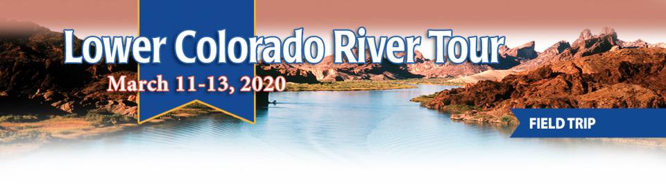
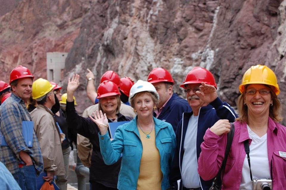
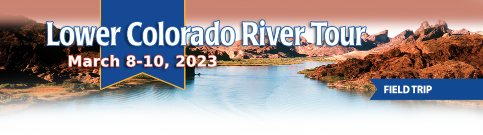
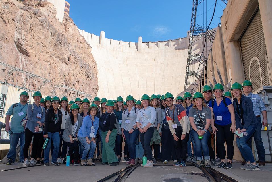
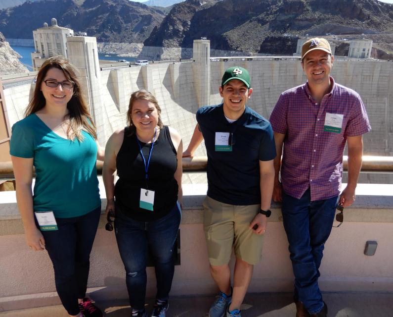
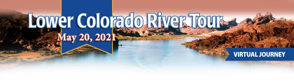
This tour explored the lower Colorado River firsthand where virtually every drop of the river is allocated, yet demand is growing from myriad sources — increasing population, declining habitat, drought and climate change.
The 1,450-mile river is a lifeline to some 40 million people in the Southwest across seven states, 30 tribal nations and Mexico. How the Lower Basin states – Arizona, California and Nevada – use and manage this water to meet agricultural, urban, environmental and industrial needs was the focus of this tour.
Hilton Garden Inn Las Vegas Strip South
7830 S Las Vegas Blvd
Las Vegas, NV 89123
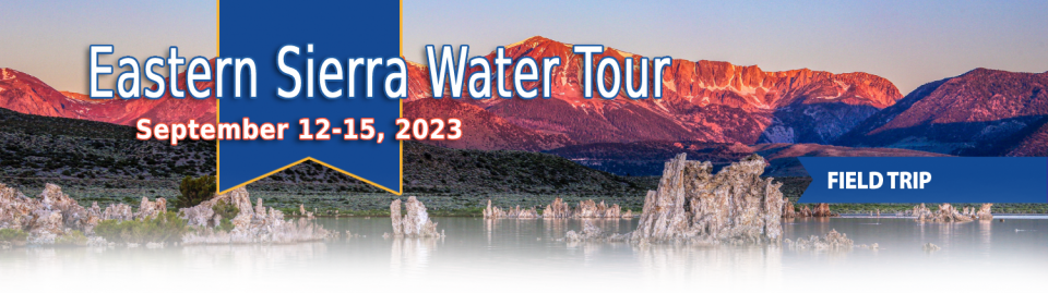
This special Foundation water tour journeyed along the Eastern Sierra from the Truckee River to Mono Lake, through the Owens Valley and into the Mojave Desert to explore a major source of water for Southern California, this year’s snowpack and challenges for towns, farms and the environment.
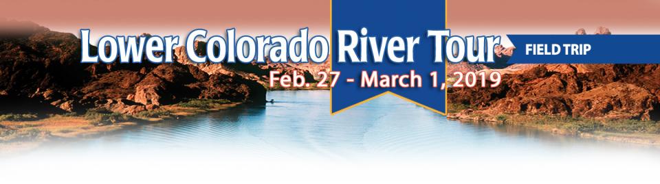
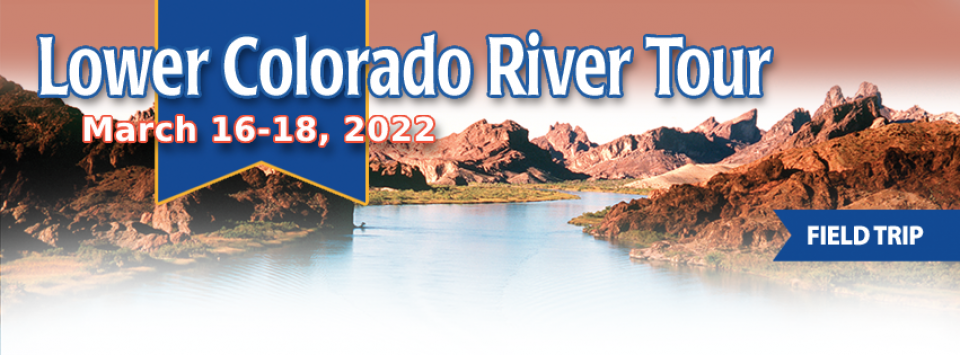
This tour explored the lower Colorado River firsthand where virtually every drop of the river is allocated, yet demand is growing from myriad sources — increasing population, declining habitat, drought and climate change.
The 1,450-mile river is a lifeline to some 40 million people in the Southwest across seven states, 30 tribal nations and Mexico. How the Lower Basin states – Arizona, California and Nevada – use and manage this water to meet agricultural, urban, environmental and industrial needs was the focus of this tour.
Hyatt Place Las Vegas At Silverton Village
8380 Dean Martin Drive
Las Vegas, NV 89139
The lower Colorado River has virtually every drop allocated, yet demand is growing from myriad sources — increasing population, declining habitat, drought and climate change.
The 1,450-mile river is a lifeline to 40 million people in the Southwest across seven states, 30 tribal nations and Mexico. How the Lower Basin states – Arizona, California and Nevada – use and manage this water to meet agricultural, urban, environmental and industrial needs was the focus of this tour.
Hyatt Place Las Vegas At Silverton Village
8380 Dean Martin Drive
Las Vegas, NV 89139
This event explored the lower Colorado River where virtually every drop of the river is allocated, yet demand is growing from myriad sources — increasing population, declining habitat, drought and climate change.
The 1,450-mile river is a lifeline to 40 million people in the Southwest across seven states and Mexico. How the Lower Basin states – Arizona, California and Nevada – use and manage this water to meet agricultural, urban, environmental and industrial needs was the focus of this tour.
Deep, throaty cadenced calls —
sounding like an off-key bassoon — echo over the grasslands,
farmers’ fields and wetlands starting in late September of each
year. They mark the annual return of sandhill cranes to the
Cosumnes River Preserve,
46,000 acres located 20 miles south of Sacramento on the edge of
the Sacramento-San Joaquin Delta.
This tour explored the lower Colorado River where virtually every drop of the river is allocated, yet demand is growing from myriad sources — increasing population, declining habitat, drought and climate change.
The 1,450-mile river is a lifeline to 40 million people in the Southwest across seven states and Mexico. How the Lower Basin states – Arizona, California and Nevada – use and manage this water to meet agricultural, urban, environmental and industrial needs is the focus of this tour.
Silverton Hotel
3333 Blue Diamond Road
Las Vegas, NV 89139
Deep, throaty cadenced calls —
sounding like an off-key bassoon — echo over the grasslands,
farmers’ fields and wetlands starting in late September of each
year. They mark the annual return of sandhill cranes to the
Cosumnes River Preserve,
46,000 acres located 20 miles south of Sacramento on the edge of
the Sacramento-San Joaquin Delta.
We explored the lower Colorado River where virtually every drop
of the river is allocated, yet demand is growing from myriad
sources — increasing population, declining habitat, drought and
climate change.
The 1,450-mile river is a lifeline to 40 million people in
the Southwest across seven states and Mexico. How the Lower Basin
states – Arizona, California and Nevada – use and manage this
water to meet agricultural, urban, environmental and industrial
needs was the focus of this tour.
Hampton Inn Tropicana
4975 Dean Martin Drive, Las Vegas, NV 89118
This three-day, two-night tour explored the lower Colorado River
where virtually every drop of the river is allocated, yet demand
is growing from myriad sources — increasing population,
declining habitat, drought and climate change.
The 1,450-mile river is a lifeline to 40 million people in
the Southwest across seven states and Mexico. How the Lower Basin
states – Arizona, California and Nevada – use and manage this
water to meet agricultural, urban, environmental and industrial
needs is the focus of this tour.
Best Western McCarran Inn
4970 Paradise Road
Las Vegas, NV 89119
Water truly has shaped California into the great state it is
today. And if it is water that made California great, it’s the
fight over – and with – water that also makes it so critically
important. In efforts to remap California’s circulatory system,
there have been some critical events that had a profound impact
on California’s water history. These turning points not only
forced a re-evaluation of water, but continue to impact the lives
of every Californian. This 2005 PBS documentary offers a
historical and current look at the major water issues that shaped
the state we know today. Includes a 12-page viewer’s guide with
background information, historic timeline and a teacher’s lesson.
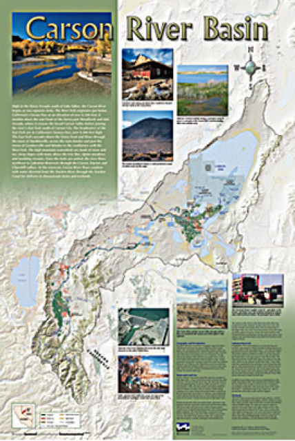
A companion to the Truckee River Basin Map poster, this 24×36
inch poster, suitable for framing, explores the Carson River, and
its link to the Truckee River. The map includes Lahontan Dam and
Reservoir, the Carson Sink, and the farming areas in the basin.
Map text discusses the region’s hydrology and geography, the
Newlands Project, land and water use within the basin and
wetlands. Development of the map was funded by a grant from the
U.S. Bureau of Reclamation Mid-Pacific Region, Lahontan Basin
Area Office.
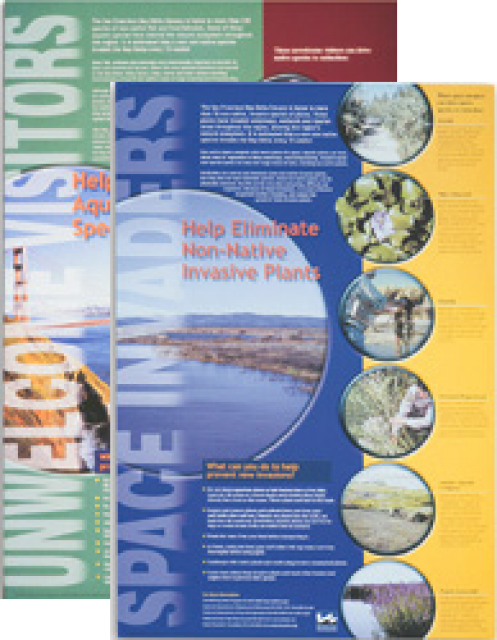
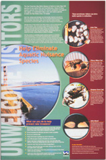
This 24×36 inch poster, suitable for framing, explains how
non-native invasive animals can alter the natural ecosystem,
leading to the demise of native animals. “Unwelcome Visitors”
features photos and information on four such species – including
the zerbra mussel – and explains the environmental and economic
threats posed by these species.
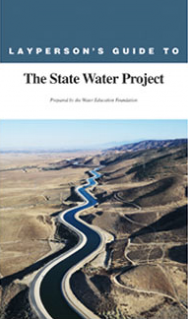
The 24-page Layperson’s Guide to the State Water Project provides
an overview of the California-funded and constructed State Water
Project.
The State Water Project is best known for the 444-mile-long
aqueduct that provides water from the Delta to San Joaquin Valley
agriculture and southern California cities. The guide contains
information about the project’s history and facilities.
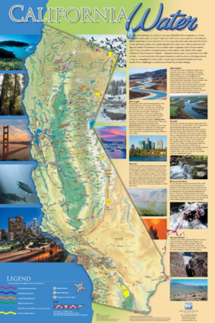
A new look for our most popular product! And it’s the perfect
gift for the water wonk in your life.
Our 24×36 inch California Water Map is widely known for being the
definitive poster that shows the integral role water plays in the
state. On this updated version, it is easier to see California’s
natural waterways and man-made reservoirs and aqueducts
– including federally, state and locally funded
projects – the wild and scenic rivers system, and
natural lakes. The map features beautiful photos of
California’s natural environment, rivers, water projects,
wildlife, and urban and agricultural uses and the
text focuses on key issues: water supply, water use, water
projects, the Delta, wild and scenic rivers and the Colorado
River.


")